Overview
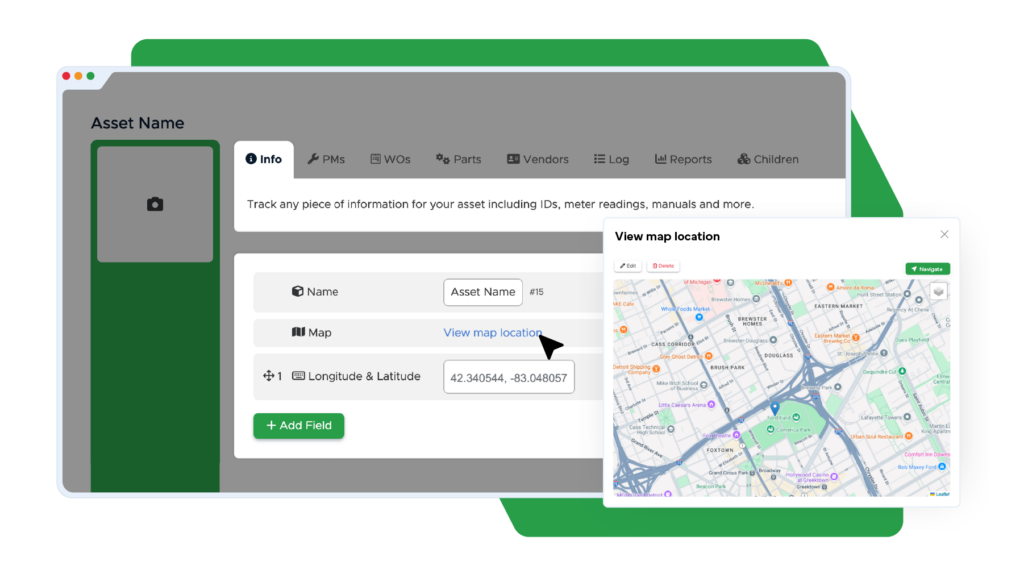
Sync Limble and ArcGIS to enable seamless geolocation data transfer. ArcGIS enriches Limble’s mapping capabilities with real-time geospatial data to automate asset location mapping, streamline work orders, and optimize maintenance routes.
Features & Benefits
- Automatically sync geolocation data to track asset locations
- Optimize routing for maintenance tasks
- Simplify asset mapping for field maintenance teams
- Enhance the efficiency of work order management based on geospatial data
